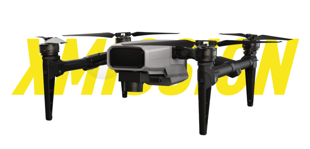

Light & Foldable

RTK Precise Positioning

Fully Autonomous Flight
Open SDK

FOC Vector ESC

Fleet Mode

100m Terrain Tracing

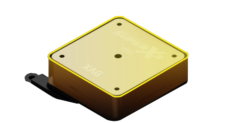
3×IMU

UPS

AI Fault Prediction

FailSafe Protection
Obstacle Avoidance
Standard Pattern:
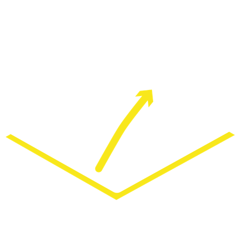
Polygon, Enclosed Area

Grid Pattern:
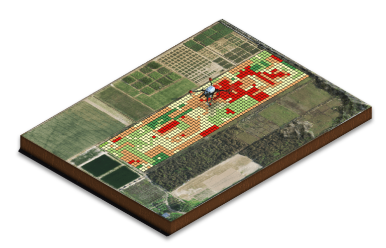
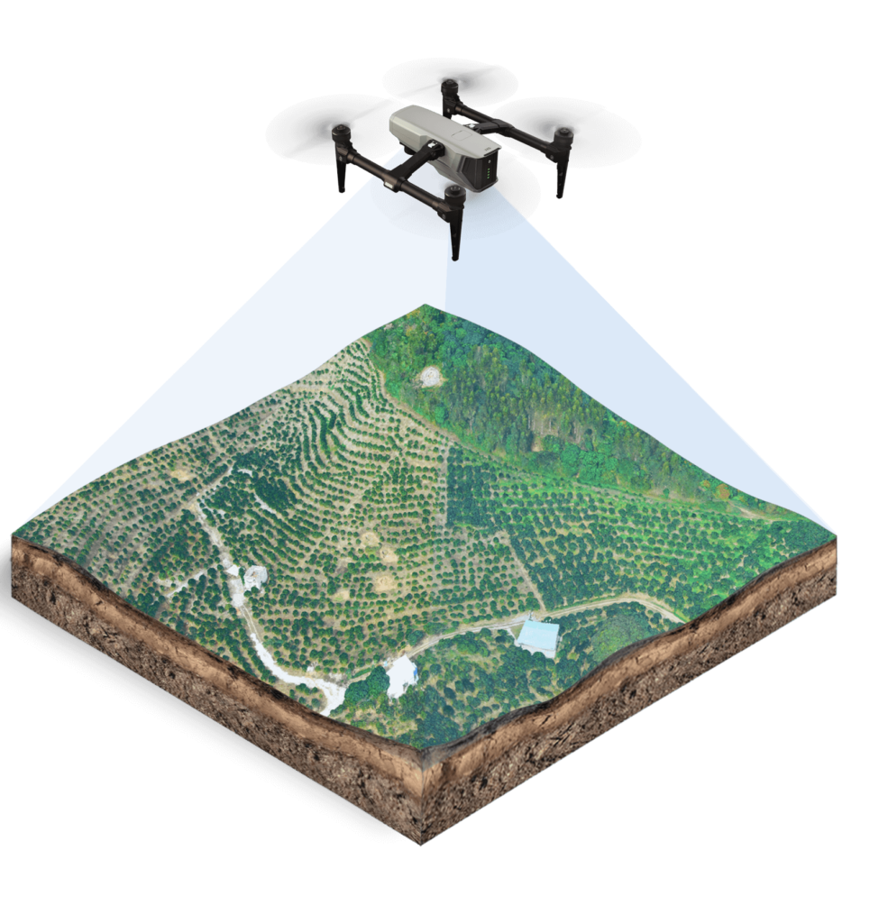
High Definition 3D Modelling
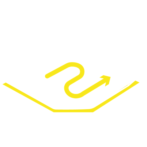
Linear Pattern:
Inspection of road, channel, etc.
Dual-engine RTK

All 4G Networks

2.4G/5.8G HDLS
MESH Networking

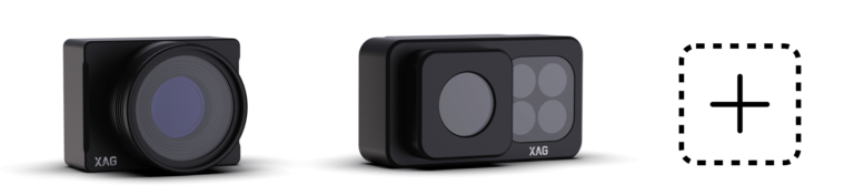
1-inch CMOS

Global Shutter

M-second Sync

Distortion Correction

Auto Focus

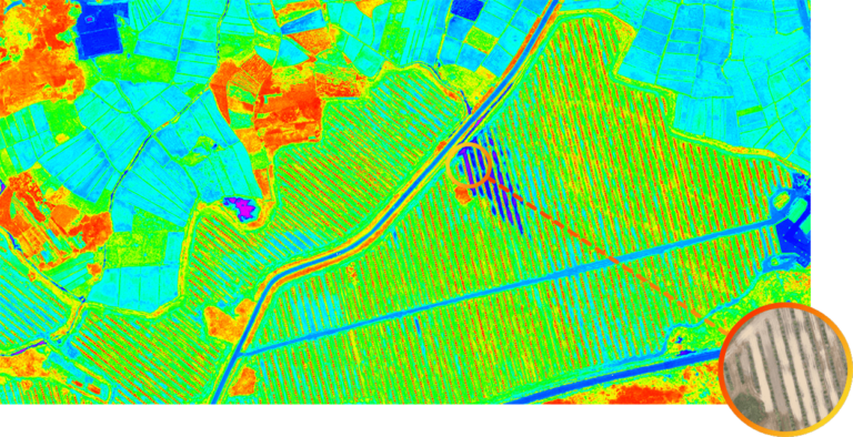
3D Modelling

Multi-Spectrum +RGB
Global Shutter
M-Second Sync
Distortion Correction
Auto Focus

Auto Alignment

Auto Sensor Calibration

On-site Processing